SKYWARN®
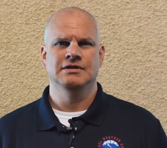
Instructor: Scott Overpeck
Scott Overpeck is the Warning Coordination Meteorologist (WCM) for the NOAA/National Weather Service in Albuquerque NM. His main responsibilities involve working with emergency management and other federal, tribal, state and local agencies for weather preparedness and weather decision support. He also oversees the office’s outreach efforts with presentations for weather preparedness and the SkyWarn program for storm spotting. He started as the WCM in 2020 guiding the forecast office’s efforts to provide weather support during the response and recovery phases of the Hermit’s Peak/Calf Canyon wildfire that became the largest in New Mexico history. Prior to being promoted to WCM at NWS Albuquerque, Scott served as a meteorologist at the National Weather Service in Houston/Galveston TX for 13 years having provided weather support for Hurricanes Ike and Harvey along with several other major floods in Houston. Scott has nearly 20 years of experience in the NWS and holds both Bachelor of Science and Master of Science degrees in Atmospheric Science. He, his wife and 4 kids live in northwest Albuquerque and plan to be here several years to come.

Registration Required
The US National Weather Service’s SKYWARN® Program provides a valuable, accessible port of entry to the world of emergency communications, one of the pillars underpinning the Amateur Radio Service. And it does so with something that everyone is interested in following: weather.
The NWS’s Albuquerque forecast office will hold a free SKYWARN® training session at the Duke City Hamfest on Sunday, Sept. 22, from 9:30 a.m. to noon. Registration for the course is required.
What is SKYWARN®? It’s a program that enlists and trains volunteers to become the eyes for local forecast offices during severe weather. Yes, even in this era of high-techforecasting tools and weather monitoring systems, human eyes in the field remain vital.
Reports from spotters help forecast offices decide when to issue severe-thunderstorm, tornado, or flash-flood warnings. Reports of storm totals for rain or snowfall feed official stream-flow or drought assessments and forecasts. Spotter information also provides additional data that can help NWS researchers improve forecasting tools.
SKYWARN® training isn’t just for newbies to emergency communication. If you move from one part of the country to another, retraining is important; information a local forecast office wants you to provide can vary by state or region. In New Mexico, where the flash-flood hazard is high, NWS forecasters are interested in rainfall rates of one inch an hour, measured at 15-minute intervals. In southern New England, forecasters ask to be notified if a spotter actually measures one inch of rain in one hour.
This September’s course will focus on the program’s background, how to report conditions, and most important, what to watch for so that your reports are accurate. You’ll learn how to distinguish between true severe-weather indicators and similar features that look like the real deal but aren’t.
If weather fascinates you and you are interested in turning that fascination into a valuable public service, this course is for you!
National Weather Service SKYWARN® Training
Last Update: 5/1/2024
